 Links to download
the latest cross-platform, web-enabled versions of the Dynamic Digital Map of the Dynamic Digital map of UMass are found below.
Links to download
the latest cross-platform, web-enabled versions of the Dynamic Digital Map of the Dynamic Digital map of UMass are found below.
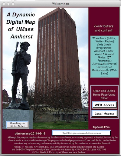
The Dynamic Digital Map of UMass-Amherst is an interactive map of campus. The DDM includes three types of maps (topographic, orthophoto, and the generic campus sketch map), camera icons for 180 pictures (many of them aerial obliques) of campus and QuickTime panoramic movies and two fly arounds. For the unfamiliar, the program supplies a "FIND" list that centers the map on the location of a selected feature. A brief article gives a "Wren's eye view" of UMass, and another one gives some details about what its alumnae describe as the best liked outfit on campus, the Department of Geosciences.
The downloads below are standalone programs that run without other software. Simply unzip the zipped file sent, open the resulting folder, and start the program from within the folder. From the start up screen, use the yellow "WEB Access" button. Because the programs access their data (maps, images, figures, and movies) from a file server at UMass, and because they are using the web, they require a fast internet connection to run. All DDMs can alternatively access data from a CD, DVD or hard drives, if the data are available in those locations. To view any included movies, both Windows and Mac computers must have the latest QuickTime Player installed (free from Apple for both platforms, at www.apple.com). Please be sure Windows computers have their latest video drivers installed! Computers with less than 512 MB of free RAM will run these programs very slowly at best.