Downloads of the Dynamic Digital Map
of the Marlborough Quadrangle, MA
Cross-Platform Stand-Alone Programs Made with Revolution)
Department of Geosciences
University of Massachusetts-Amherst


Links to download the latest cross-platform, web-enabled versions of the Dynamic Digital Map of the Marlborough Quadrangle, MA are found below.

This Dynamic Digital Map is a collaboration of the DDM project and the Office of the State Geologist of Massachusetts. The data used to create this map were collected as part of the STATEMAP project of FY03 of the Office of the State Geologist. With federal funding from the USGS, STATEMAP is a component of the National Cooperative Geologic Mapping Program. The maps in this DDM are preliminary versions, and all are in REVIEW. The release of this DDM is part of an experiment to increase the rapid dissemination of quadrangle maps as a supplement to the ArcGIS and PDF versions. Comments and critisms of this effort are encouraged to ccondit@geo.umass.edu.

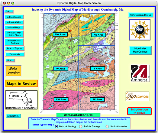
The "DDM-Marl" contains three thematic maps (bedrock, surficial and surficial material, with simplified and detailed unit explanations), a cross section (for the bedrock map), two correlation charts (for the bedrock and surficial maps) and three articles, one describing each map type. The map is referenced with latitude-longitude read-outs of the cursor location, and has both linear and area measurement capabilities. It also contains 136 images (mostly outcrop shots) with captions describing each, 77 figures (scans of borehole data sheets), and fracture data for over 3057 stations, linked to 32 sites plotted on the maps. Each map contains labels of all units, and major geographic and cultural map features, that can be searched for and located, using the "Map Search List" palette.

For more information on the STATEMAP program, visit the Office of the State Geologist of Massachusetts' website.