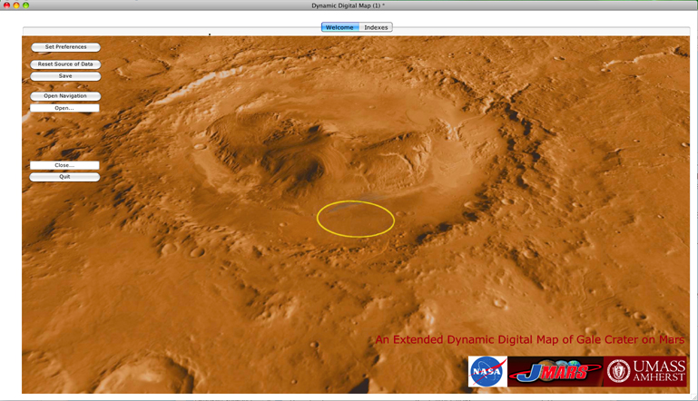
 Extended Dynamic Digital Maps (EDDMs) are perhaps best described as a computerized, self-authored, interactive textbook. This software enables people to easily gather and present data so that users of the EDDM may actively absorb whatever material the designer of the EDDM decides to include. In this example, we designed the EDDM of Gale Crater to teach people about the geology of Gale Crater, which is currently the home of the most sophisticated NASA Mars Rover - Curiosity.
EDDM-Gale Crater hosts six thematic maps, including:
(1). A geologic map, which is the detailed geologic map of Gale Crater provided by Brad Thompson of the Boston University Center for Remote Sensing (Thompson, et al., 2010), ;
(2). A THEMIS map, a global mosaic derived from the Mars Odyssey Thermal Emission Imaging System;
(3). A MOLA map, a global shaded relief elevation map derived from the Mars Global Surveyor Mars Orbiter Laser Altimeter data);
(4). A Viking orbiter map, a global mosaic made from Viking Orbiter images
(5). A HiRise map, a global mosaic made from High Resolution Imaging Science Experiment images;
(6). A Hubble Telescope map, a global mosaic made from Hubble Telescope images; and
(7). In addition EDDM-Gale-Crater contains a diverse suite of images including over 40 captured by the High Resolution Imaging Science Experiment (HiRISE). EDDM-Gale Crater also provides more than 25 articles written by Jess (dated circa 2012-10-20) that span subjects from the possible origins of the peak of Gale Crater to the goals of NASAs Mars Exploration Program. The included movies describe the difficulties of selecting a landing site for Curiosity, landing Curiosity on Mars and several other dynamic topics.